 NASA and IBM have teamed up to create an AI-based model for weather and climate applications. The two institutions are combining their knowledge and skills in the fields of earth science and artificial intelligence, respectively, for the model, which they say will offer “significant advantages over existing technology”. The model is said to be able to predict meteorological events and detect forest fires before they happen.
Joint artificial intelligence from NASA and IBM
Existing AI models such as GraphCast and Fourcastnet already produce weather forecasts faster than traditional meteorological models. However, IBM states that these are artificial intelligence emulators rather than basic models. As the name suggests, core models constitute the underlying technologies that power productive AI applications. Although artificial intelligence emulators can make weather forecasts based on training data sets, they do not have any functions beyond that. IBM says they can’t code the physics at the heart of weather forecasts.
In this context, NASA and IBM are perfect for each other. Both organizations hope it will have expanded accessibility, faster inference times and greater data diversity compared to existing models. Another important goal is to improve forecast accuracy for other climate applications. The model’s expected capabilities include predicting meteorological events, extracting high-resolution information based on low-resolution data, and “identifying conditions conducive to everything from aircraft turbulence to forest fires.”
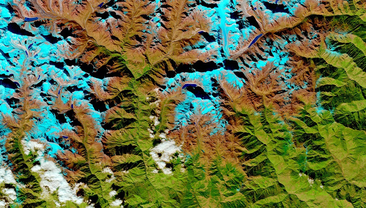
In fact, in the first half of the year, NASA and IBM had put another basic model into service. According to IBM, this model uses data from NASA satellites for geospatial intelligence. So far, this model has been used to monitor and visualize tree planting and cultivation activities in water tower areas (forest areas that retain water) in Kenya. The aim is to plant more trees and combat water scarcity problems. The model is also used to analyze urban heat accumulations in the United Arab Emirates.